You’re invited to an exclusive live session where we will delve deep into the realm of 3D reality capture technology. Join us as we explore the nuanced differences between mobile scanning and terrestrial laser scanning — and uncover how they are more closely intertwined than you might think.
Attend this webinar to learn:
- How terrestrial laser scanning delivers unparalleled precision for as-built documentation, structural inspections, clash detection and more.
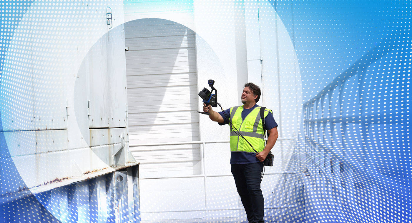
- The importance of real-time mapping with Simultaneous Localization and Mapping (SLAM) for efficient construction progress monitoring, virtual simulation and more.
- The benefits of combining terrestrial laser scanning and SLAM for comprehensive data capture and enhanced project efficiency.
- How terrestrial laser scanning and SLAM reduce costs by minimizing rework and facilitating accurate as-built documentation.
- The synergistic applications of terrestrial laser scanning and SLAM in seamless project management and improved data capture.
Presenter:
|
|
Mike Zivanovic - Senior Solutions Architect | FARO Technologies Mike Zivanovic combines work experience in the field and office with a passion for construction technology, focusing on design and 3D reality capture. |
|
|
Brandon Daugherty - Field Applications Engineer | FARO Technologies Brandon Daugherty transitioned from college into FARO’s Graduate Program and is eager to help customers understand how 3D reality capture can optimize specific workflows and achieve cost savings. |


This webinar is tailored for architects, engineers, construction professionals, surveyors, and anyone keen on harnessing the latest advancements in mapping technology to enhance their projects.
Don’t miss this opportunity to gain valuable insights from industry experts and explore cutting-edge technology — like the new FARO® Orbis™ Mobile Scanner.