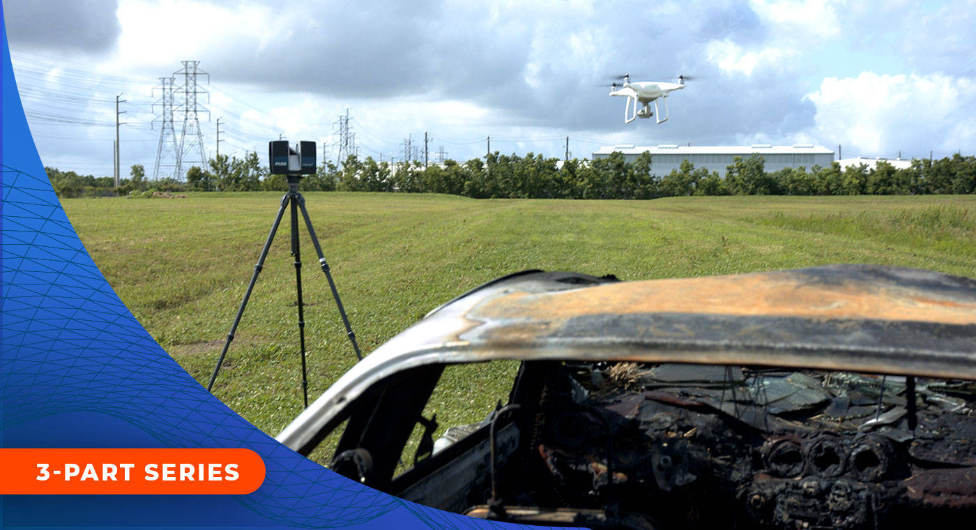
Drones and 3D laser scanners are quickly becoming a must-have technology for crash scene reconstruction. They make site assessment faster, safer and more accurate — plus providing excellent data that can be rendered into visually stimulating deliverables
If you’ve been curious about how to use drones, 3D laser scanners and modeling software to document scenes, then this informative webinar series is for you.
Watch these videos to:
FARO offers industry-leading solutions and advice to help you capture and present data from crash scenes in the fastest, most accurate manner. If you’re interested in learning how advances in forensic technology can advance your crash reconstruction and analysis, then please join us to learn about the instruments at your disposal.
Part 1: Introductions, Overview of Course, Documenting with Laser Scanners, SCENE software workflow
Part 2: Documenting with Drones, Processing Aerial Photographs, Creating Aerial Point Clouds
Part 3: Combining Drone and Laser Scanner Point Clouds in FARO Zone 3D software and producing courtroom deliverables
Presenters:
|
|
Russell Boynton Russell Boynton is a 20-year veteran of law enforcement at the federal, state and local levels. Russ has 35+ years as a crash reconstructionist and is a recognized crash reconstruction expert in most New England states. In addition to his extensive career, Russ is also an experienced trainer for major crime and crash scene documentation for both the public and private sectors. |
|
|
Noreen Charlton Noreen Charlton is a former Sr. Crime Scene Analyst with the Las Vegas Metropolitan Police Department in Las Vegas, Nevada. She has testified as an expert witness in both State and Federal courts in the state of Nevada. She is a current member of the Crime Scene Investigation Consensus Body of the American Academy of Forensic Sciences Standards Board (ASB). |
If you’re interested in a demo of one of the technologies in these videos, please get in touch!


