Mapping Informal Settlements in Bengaluru, India
The informal settlements in Bengaluru, India, house roughly 16% of the city’s population (approx. 13.5 million), and there are around 500 of these communities recognized in the area.
Currently, Bengaluru is experiencing a period of rapid modernization and urbanization, which has caused the city limits to expand. As a result, the local government must provide documents of every house, detailing accurate measurements of its structure, such as boundary lines and roof heights. The government has plans to formally transfer legal ownership of the land/property to the occupants.
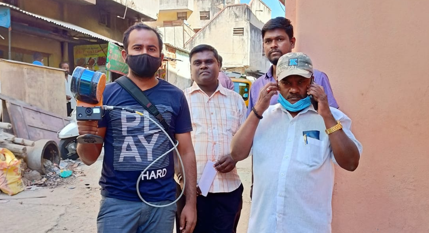
A team from a reputed geospatial company appointed by the government surveyed the area and collected the relevant data. This involved mapping the informal settlements in Bengaluru with their complex layouts. The settlements are a mix of narrow streets and busy open areas. Consequently, the team needed to find adaptable solutions and technology that could handle the challenging environments, as well as deliver on the task at hand.

A fast and effective way to map the informal settlements was to walk through the narrow passages, and a mobile laser scanner was the option most suited to this task. They chose to use a SLAM solution, due to its quick method of capturing accurate data and ease of use. The lightweight solution means that there is only a requirement for one person to scan an area. This is less disruptive to the surveying team, which in turn is cost-effective for them and their client.
The extensive network of restrictive passages and dead ends did not negatively affect the SLAM technology. By using mobile LiDAR, the team was able to scan 40-45 areas of the settlements. They captured smaller areas of the informal settlements in a single scan ranging from 25-27 minutes. The team mapped larger areas over multiple scans, sending them to the client individually.
“The mobile scanner provided good quality data and allowed us to scan difficult-to-access areas accurately and efficiently.”

As a result of the increased speed of capture, the geospatial company could make accurate measurements in a timely manner. Furthermore, they exported the point clouds to Terra Solid, for the extraction of more information for the final report.
The final data delivered on their client’s accuracy goals. They were able to smoothly extract and measure the boundaries and roofs of every single house in the informal settlements.